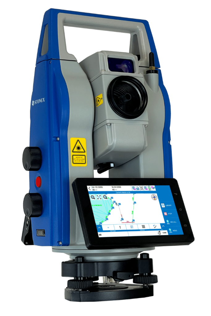
Cube-a is Stonex’s solution for professional surveying and GIS which has been designed and developed for the Android platform. Thanks to the flexibility of the Android environment, we have been able to create a simple and intuitive user interface that makes surveyors ready for any work, saving time and increasing productivity.
Cube-a is a modular application which can be customized as needed: GNSS, Robotic and Classic Total Stations, GIS and 3D Modelling modules can be enabled to fulfill any customer need.
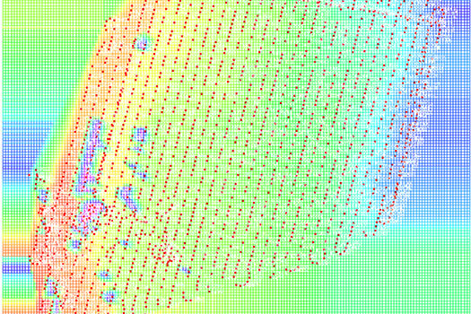
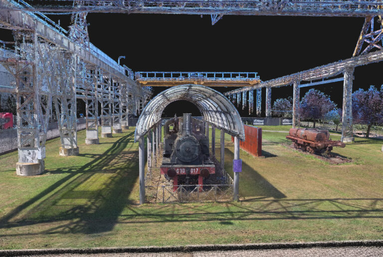
Cube-3d is a complete software for 3D data management, built by two modules for photogrammetry and for scanner data. The former processes images (or videos) to generate accurate digital maps and 3D models with extreme precision; the latter provides tools to align point clouds.
It is compatible with cube-a surveys and with any third-party 3D model. It is possible to draw on point clouds or meshes and merge data imported from traditional survey tools, all in a single software. The data can be then processed and enhanced thanks to the various CAD tools.
Among the many features available, most appreciated are the automatic classification, orthophoto, cross-sections and profile lines, volume calculation, and more. Licenses configuration is very flexible, from perpetual to temporary subscription, it adapts to the needs of many professionals.